Our favorite weekend plan doesn't involve partying. It means setting the alarm early, packing a sandwich in the backpack and heading out to hike some corner of the Valencian Community before the heat kicks in.
We've been living in Valencia for over 5 years, and along the way we've built up a list of trails we keep repeating, recommending and always returning to with friends who visit us. Waterfalls, viewpoints, caves, and the occasional pool to dip your feet in. Nothing that requires catching a plane or booking months in advance.
Here's our guide to our must-do hikes near Valencia. All are under an hour and a half by car or public transport, all come with their own Wikiloc map, and all have been tested by us more than once.
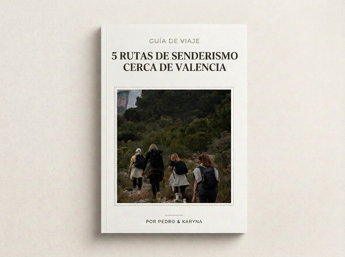
Explore our free guide to amazing trails across the Valencian Community. It includes maps, routes and recommendations.
Navajas and the Salto de la Novia
Navajas is a village in the Alto Palancia area of Castellón that we go back to almost every year. The trail starts next to the Restaurante Altomira and follows the Palancia River past several springs, which is why it's also known as the Fountain Route.

Waterfall: Salto de la Novia
Before reaching the Salto de la Novia, we pass the Cascada del Tío Juan, which you reach by stone steps carved into the rock that are always wet. Watch your footing there.
The highlight comes at the end: the Salto de la Novia, a roughly 60-meter waterfall that drops into the Palancia River. It has its own name and legend. The story goes that couples in the village used to prove their love by jumping over a narrow stretch of the river next to the waterfall, and one bride slipped and was swept away by the current, along with her fiancé, who threw himself in to save her. The spot has carried her name ever since.
Afterwards we head back to the village and walk in the opposite direction from the waterfalls, to the Regajo Reservoir, where we usually finish with a picnic at the wooden tables under the pines. It's an easy hike, suitable for kids, and a great family outing.
If you still have energy, Segorbe is just a short drive away and well worth a stroll past its cathedral and old town.
Xeraco and the Pla dels Esmoladors
Just over an hour from Valencia, Xeraco is one of those places people associate only with the beach, forgetting it also has mountains.
The hike doesn't start in the village but at the La Safor rest area, where we leave the car. You can also get there by public transport, but you'll have to walk a bit more. It's 7 km, with a maximum elevation of 416 m and about 3 hours in total, as a loop.

Landscapes, Xeraco
The trail links several viewpoints, but the best one is the Pla dels Esmoladors. The views from there cover the entire La Safor region, with Xeraco below and the sea peeking out between the mountains.
It's an easy hike, although there's a stretch of uphill that you'll feel if you're not used to it. It also pairs nicely with a swim at Xeraco beach afterwards, since the village has both.
The 3 Waterfalls Trail, Anna + the Salto de Chella
This is probably the trail we recommend most when someone asks us about plans near Valencia. Anna, in the Canal de Navarrés, hides a short but spectacular route along the Sellent River.
We leave the car at the Gorgo de la Escalera car park and walk to the end of Avenida de la Diputación, where the trail begins. In just over an hour you'll visit three waterfalls: the Gorgo Gaspar, whose waters once powered a textile factory through a waterwheel; the Cascada de los Vikingos, the most powerful of the three and the one that will soak you most with the spray; and the Cascada del Salto.
If the weather cooperates, it's worth going to the Gorgo de la Escalera as well and taking a dip in its crystal-clear waters. That said, the rocks near the Cascada de los Vikingos are treacherous when wet, so wear shoes with good grip and be very careful to avoid any scares.
Take advantage of being close to Chella to visit another beautiful waterfall, the Salto de Chella, just a few minutes away by car.
Molló de la Creu, Gandía
This is the most demanding of the five, and also the one with the best views. In Gandía locals call it "the Iberian Matterhorn" because its pyramid shape reminds people, with a lot of imagination, of the Matterhorn in the Alps. (It may be a bold comparison, but we'll tell you about it anyway, haha)
The trail starts next to the Colegio de los Naranjos, where there's also a small car park. We cross the road and the motorway through two tunnels and continue to the El Algar urbanization. From there the real climb begins, up the Les Escaletes ravine, to the viewpoint at the geodesic marker. Follow the route carefully from the start: we got a little lost ourselves, but that's part of the experience, which is why we tell you everything here.
And from the top, the reward: Cullera, Gandía, the Montgó, the Mondúver, the Albufera and, on a very clear day, even the Sierra Calderona and Ibiza.
There's a rockier, more technical variant that starts from the Molló de la Creu urbanization, for anyone who wants a tougher climb. We stuck with the one from the Colegio de los Naranjos, which already has plenty of steep sections.
Water Trail, Buñol
Buñol is world-famous for La Tomatina, but outside of August the town has a completely different side: caves, pools and a hiking trail that follows the bed of the Juanes River.
It's 9 km, about 3 hours as a loop, and the route includes what we think are the most beautiful caves in the Valencian Community: the Cueva del Turche and the Cueva de las Palomas. Along the way you'll also pass the Charco Mañán, one of the largest pools on the trail, perfect for a break and a snack.
It's an easy trail overall, although there are sections with loose stones and some light scrambling. If you have time left over and bring a tent, there's a campsite nearby with picnic tables and barbecue areas, though you need prior permission from the town hall to use it.

Cueva de las Palomas, Buñol
💡 Tips
🚗 How to Get There You can do all of these trails by private car or public transport. In the latter case, plan ahead and book or buy tickets in advance. Leave early, especially for the most popular spots like Anna or Navajas, because they fill up with people on weekends and parking gets tough.
👟 Footwear and Gear On the waterfall trails (Navajas, Anna, Buñol) the rocks are almost always wet. Hiking shoes with good grip will save you from more than one scare.
💧 Water and Food None of these trails has reliable water sources year-round. Bring your own water and some food, especially on the longer hikes like Xeraco or Buñol. The humidity is always present, so it's best to be prepared.
📅 When to Go We prefer doing them outside the hottest months, or very early in the morning in summer. Trails with water (Navajas, Anna, Buñol) also depend on recent rainfall: if it hasn't rained much, the waterfalls run with less flow.
🗺️ Map of Each Trail All the trails are marked and available on Wikiloc. Download the track before you set out, especially for Molló de la Creu and Buñol, where some junctions can be confusing.
You'll find more content about these trails in the guide or on our social media. We hope you enjoy them :)
